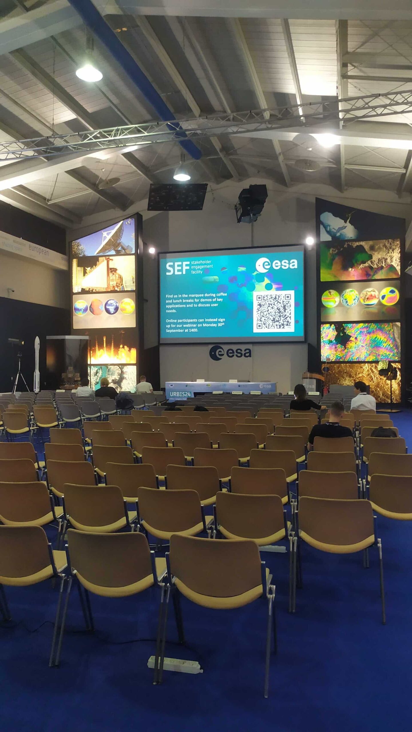


At the recent URBIS24 Workshop in Frascati, Italy (September 16–18, 2024), ASITIS, in collaboration with World From Space and Atregia, showcased our innovative project, UpGreen.
This event united urban policymakers, Earth Observation (EO) researchers, and various service providers and end-users to explore innovative solutions for urban challenges.
What is UpGreen?
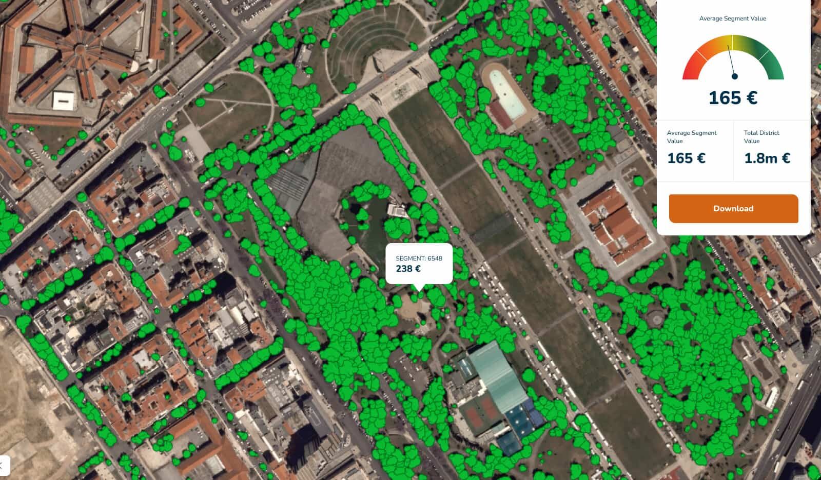
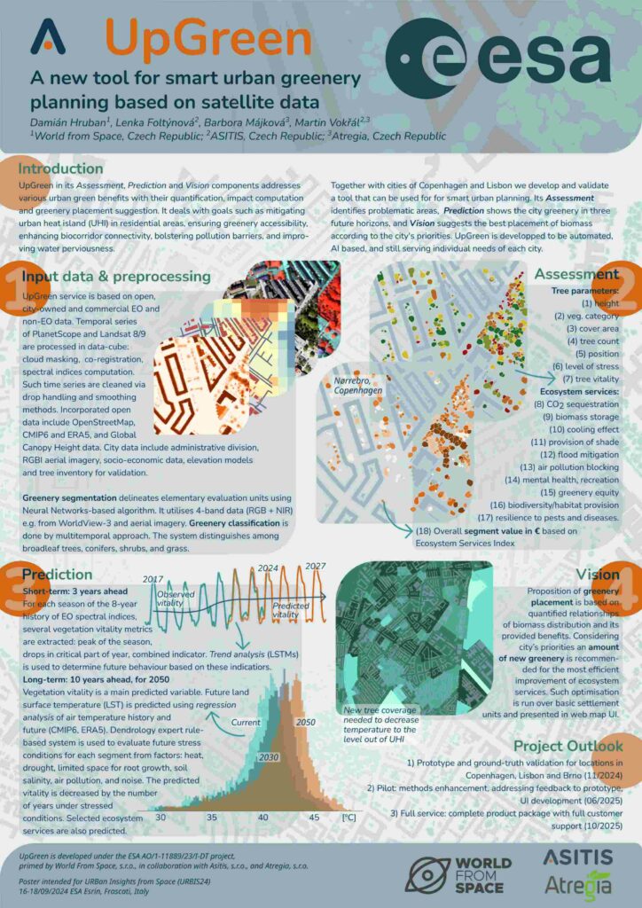
UpGreen is a breakthrough tool designed to enhance smart urban greenery planning through the integration of satellite data. At URBIS24, we presented how this AI-powered solution can support cities in improving livability, fighting urban heat islands (UHI), and boosting ecosystem services through data-driven insights.
Key Features of UpGreen:
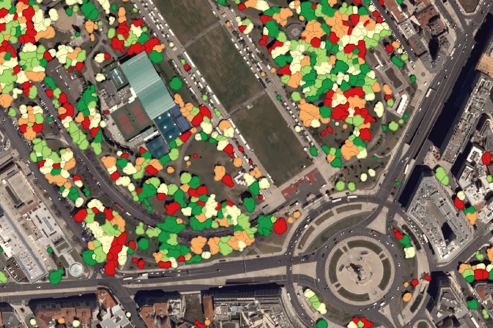
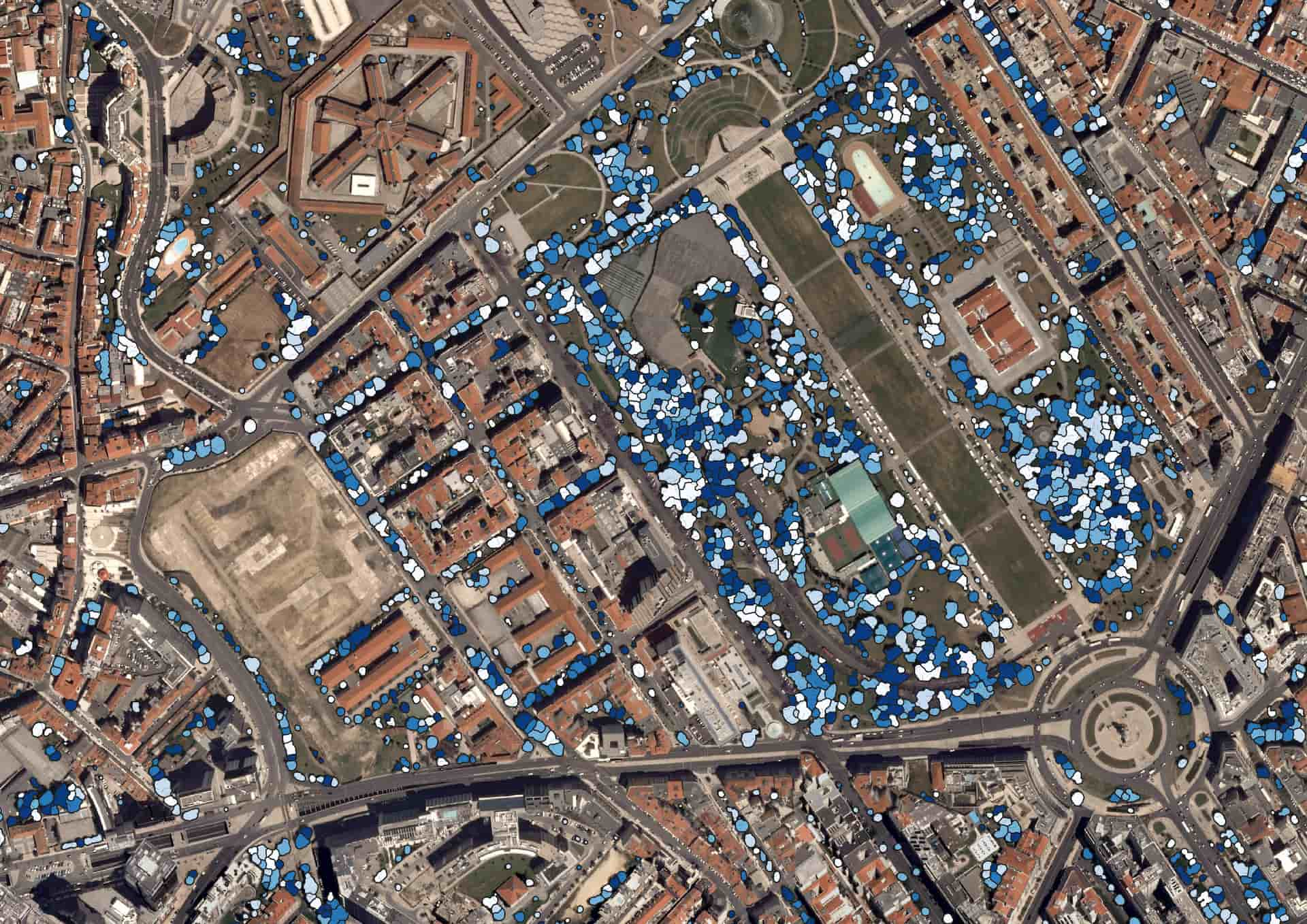
- Assessment, Prediction, Vision: UpGreen helps cities analyze their greenery with metrics such as tree height, canopy cover, species, and stress levels. By focusing on short- and long-term predictions, cities can anticipate future ecosystem challenges, such as rising temperatures, and plan interventions accordingly.
- Data-Powered Planning: Using EO imagery from PlanetScope and Landsat 8/9, the tool integrates various datasets like administrative divisions, socio-economic data, and RGBI aerial imagery. These are processed to create comprehensive maps of vegetation, identifying stressed areas and calculating ecosystem services such as CO2 sequestration, air pollution blocking, and flood mitigation.
- Prediction and Vision: The prediction module allows cities to visualize changes in greenery vitality for three years (short-term) or a decade (long-term), based on EO spectral indices and trend analysis. For instance, it calculates the impact of temperature rises on vegetation and helps define the new greenery coverage required to lower urban temperatures and meet UHI mitigation goals.
- Collaborative Development: Together with the cities of Copenhagen and Lisbon, we are validating the tool for urban applications. With their feedback, we aim to create a tailored solution that meets the specific challenges faced by diverse urban environments.
What’s Next?
The UpGreen project is on track with a three-phase rollout:
- Prototype validation in Copenhagen, Lisbon, and Brno by the end of 2024.
- Pilot deployment, incorporating feedback from the prototype by mid-2025.
- Full service package, including user-friendly interface development, is expected to be ready by the end of 2025.
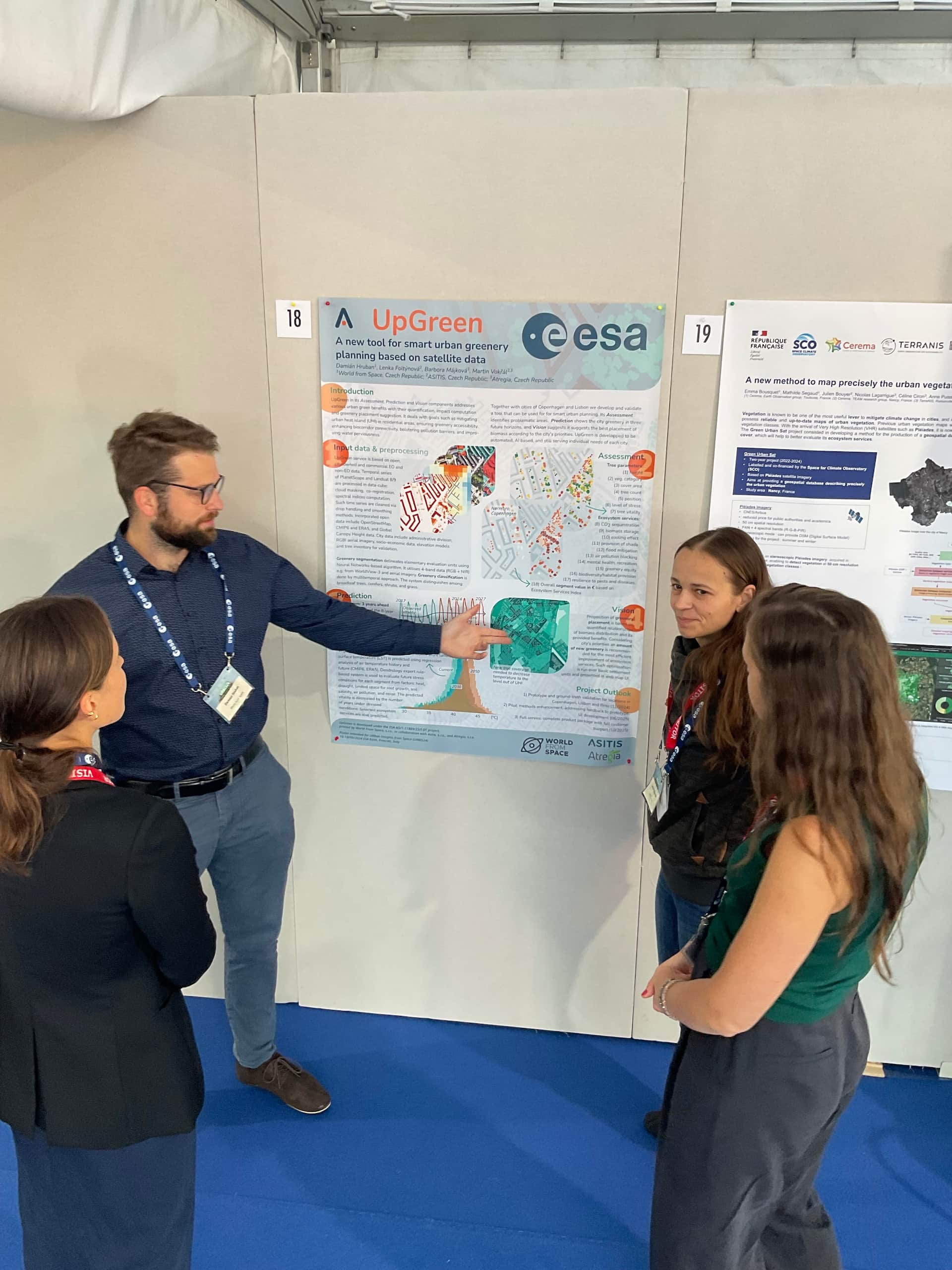
Our poster
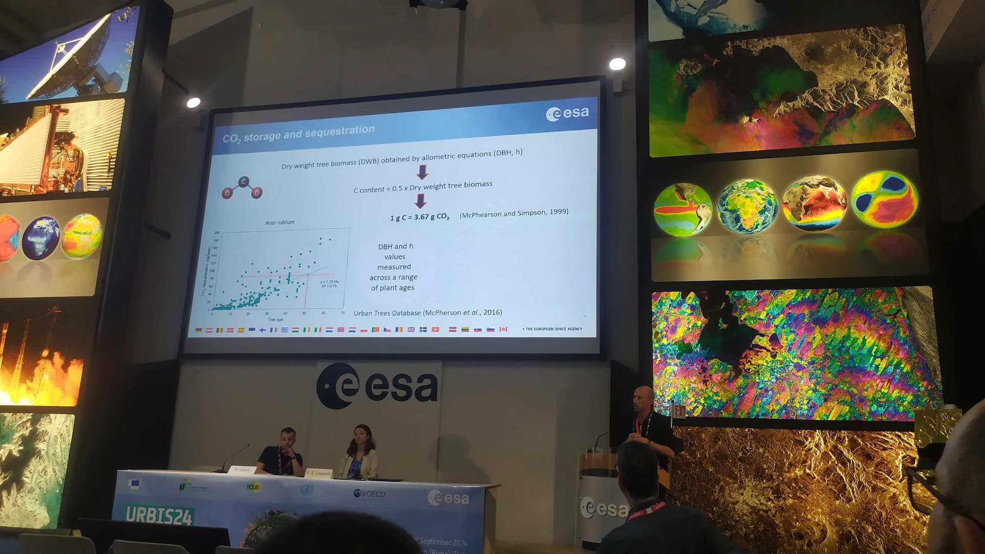
Photos from URBIS24