Copernicus programme
The Copernicus programme, managed by the European Commission in cooperation with ESA and other agencies, aims to provide accurate, timely and easily accessible information to improve environmental management, understand climate change and ensure civil security. It consists of three main components: a space component (satellites), in-situ measurements (ground data) and services.
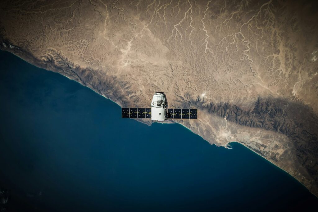
The space component includes the Sentinel satellites, developed by ESA, which provide continuous and autonomous Earth observation. These satellites monitor conditions on land, in the ocean and in the atmosphere. The in-situ component collects data from ground, airborne and marine measurement systems to complement the satellite data. The services provide information in six themes: atmosphere, sea, land, climate, emergency and security.
Copernicus services are used for a variety of applications such as monitoring air quality, monitoring marine pollution, assessing land use change and responding to natural disasters. Copernicus’s information is freely available.
Sentinel-2 satellite
Sentinel-2 is part of the European Space Agency’s (ESA) Copernicus Earth observation programme. The Sentinel-2 mission includes two satellites, Sentinel-2A and Sentinel-2B, launched in June 2015 and March 2017 respectively. These satellites provide high-resolution optical imagery for monitoring vegetation, land, water bodies and coastal areas. Sentinel-2 data supports a wide range of applications, including agricultural monitoring, forestry, land cover classification and disaster management.
Our cooperation with ESA:
UpGreen
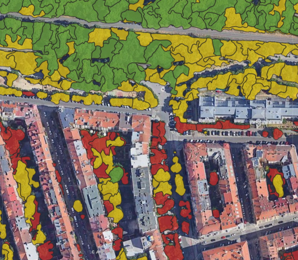
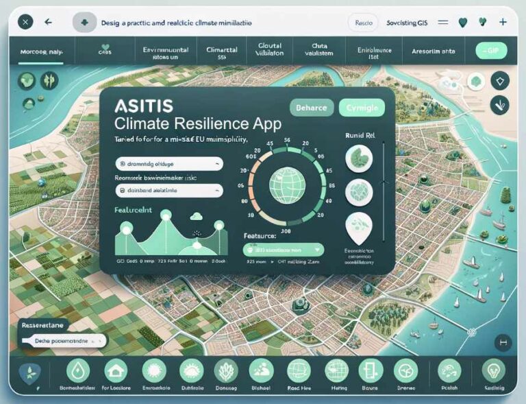
Climate Resilience App
Zdroj:
