
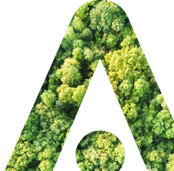
UpGreen Assessment
This UpGreen module uses satellite imagery and offers an extensive analysis of green spaces, assessing their condition and functionality and providing a clear picture of the current state of urban greenery.
I am interested in UpGreen AssessmentDo you want to ask us something?

Ing. Jiří Jedlička, Ph. D.
Write or call, we will be happy to answer your questions.
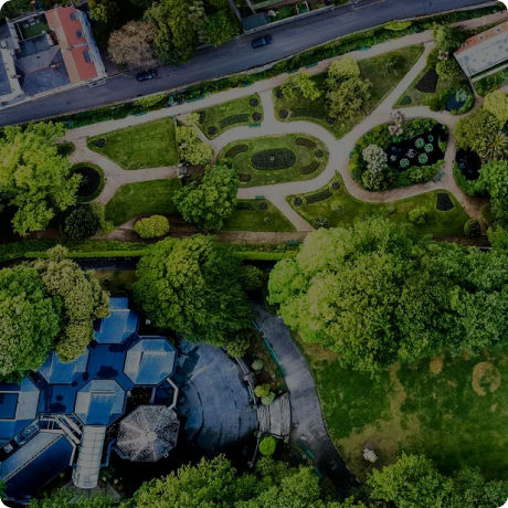
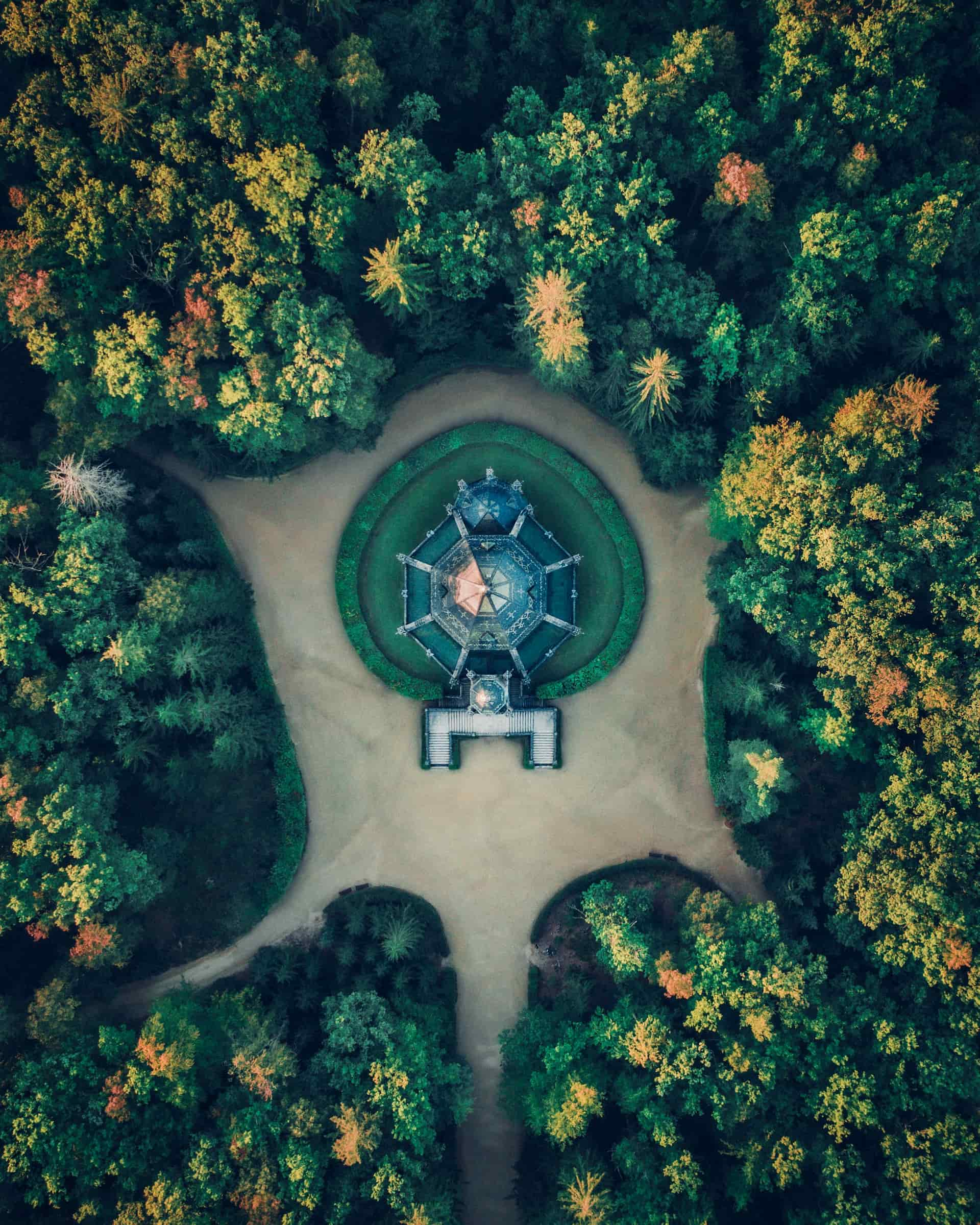
What is UpGreen Assessment?
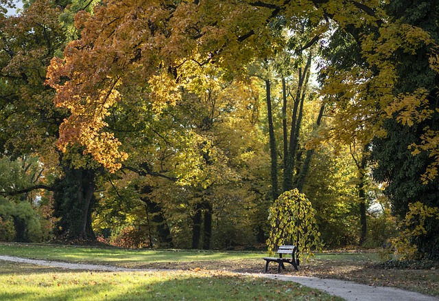
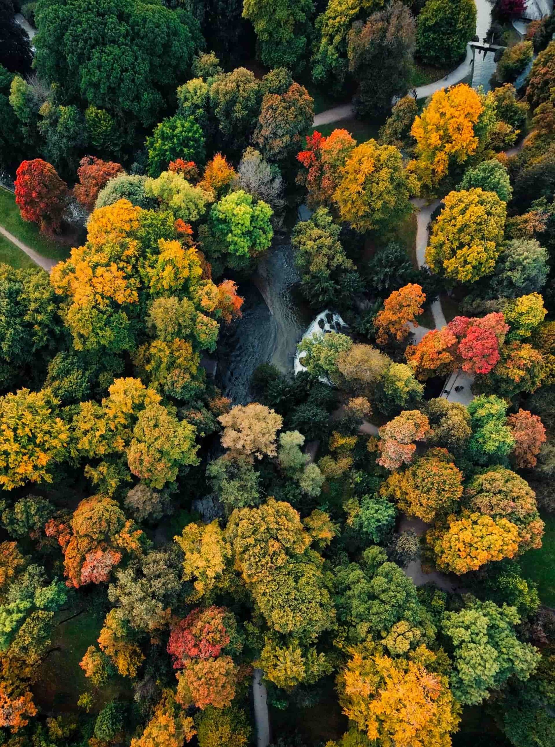
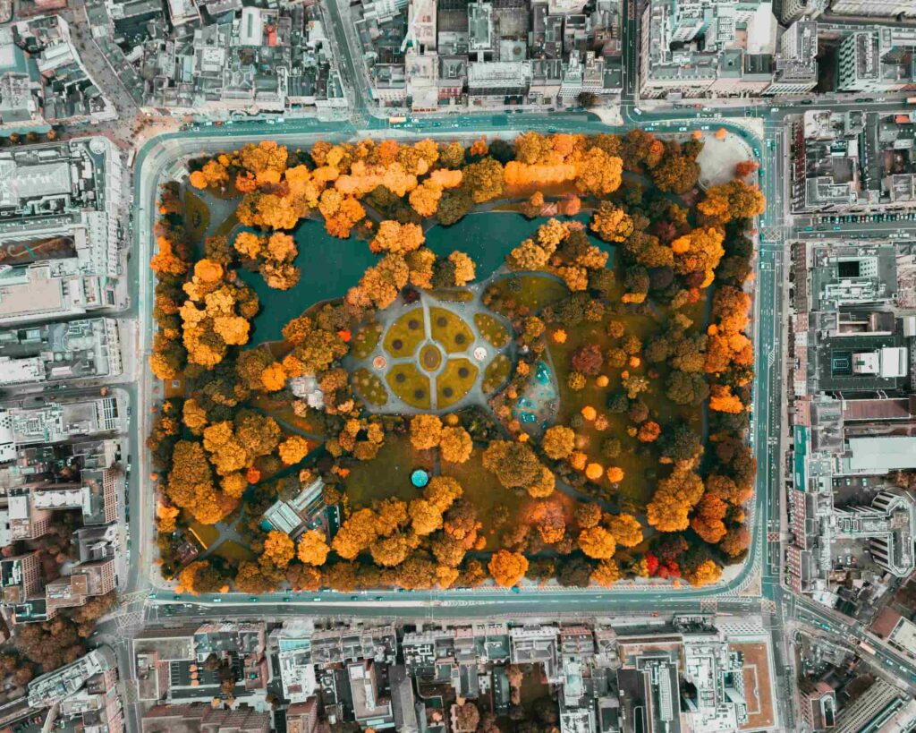
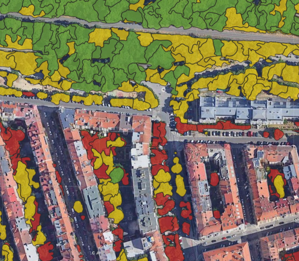
UpGreen Assessment maps 100% of urban green spaces without the need for on-site measurements and assesses their vitality and density. Our software recognizes how green spaces behave and classifies sites according to their current condition.
How will UpGreen Assessment help you?
The UpGreen Assessment offers a comprehensive evaluation of urban greenery, providing a detailed analysis of the current state of city vegetation. It includes assessments of canopy attributes such as height, cover area, vegetation types, tree count, stress levels, and vitality. Additionally, it evaluates ecosystem services like flood mitigation, biomass, carbon sequestration, microclimate regulation, shade provision, and contributions to mental and physical health. The assessment also addresses greenery equity based on the 3-30-300 rule, ensuring accessible green spaces for all residents. Outputs include infographics, map layers, tables, and reports that summarize findings and recommend actions to optimize urban greenery for environmental and socio-economic benefits.
Services provided - Canopy attributes
The documentation we prepare for you is composed of several parts:
height
cover area
vegetation category (deciduous, evergreen, shrubs, grass)
tree count
level of stress
tree vitality and stress
Services provided - Ecosystem services
(Socio-economic and environmental benefits)
flood mitigation
biomass
carbon sequestration
microclimate regulation
provision of shade/shleter
mental/physical health, recreation, aesthetics (3-30-300)
biodiversity/habitat provisions
resilience to pests and diseases
greenery equity
Outputs provided
The documentation we prepare for you is composed of several parts:
Infographics (PDF, PNG) describing the current state of the city greenery, comparison charts of the current state and optimal/desired situation (city goal)
Map layers (shapefiles)- per district: cover area, biomass, carbon sequestration, 3-30-300; per building: mental/physical health, recreation, aesthetics, greenery equity
Tables decribing for individual trees their height, positions, paired with a passport (if provided), for segments: positions, height, vegetation cathegory, level of stess, vitality, carbon sequeswtration, microclimate regulation
Final report containing a text interpretaion of the results, a table part summarizing the results, and key performance indicators
Ready to help
Public Sphere
Feel free to contact me. I'm here for you.
Ing. Jiří Jedlička, Ph. D.
Write or call, we will be happy to answer your questions.


Current topics to your email
Regular updates on news, projects or courses to your email.
By signing up for our newsletter you agree to our privacy policy
Kdo tuto službu využil


Martin Vokřál
jednatel společnost ASITIS
We are ready to work together.
Contact us and we will be happy to help you with any of our services
Martin Vokřál
CEO
Related articles


Related topics
#ecology