UpGreen
- We help municipalities with
Implementing a more effective urban greening policy
Non-binding inquirySatellite imagery data, city data, and expert best practices allow us to bring a bold new service to help cities and municipalities implement more effective urban green policies.

What is UpGreen?
UpGreen enables effective planning and management of urban green spaces, contributing to increasing the resilience of cities to climate change and improving the quality of life of residents.
UpGreen is suitable for:
Benefits of UpGreen with ASITIS
With our UpGreen service, cities get a clear idea of how to map and segment urban green spaces. Why is it important to have the most detailed information about green spaces? Urban greenery has many environmental benefits, such as cooling or cleaning the air. With the help of forecasts, cities can easily plan strategies to increase resilience to climate change, optimise the distribution of green spaces, improve the quality of life of residents and improve socio-economic outcomes.

Analysis of green spaces and assessing conditions
UpGreen Assessment
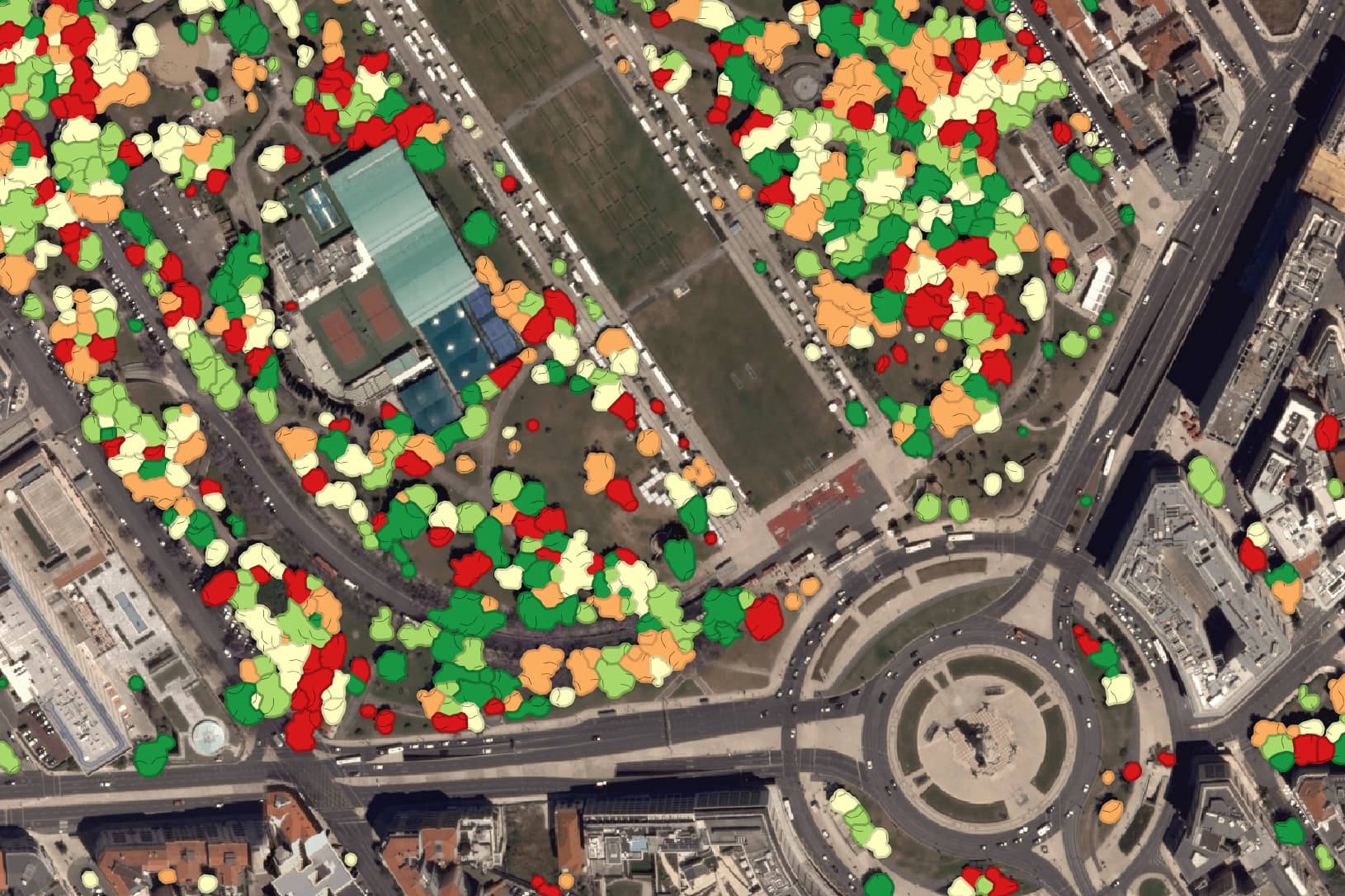
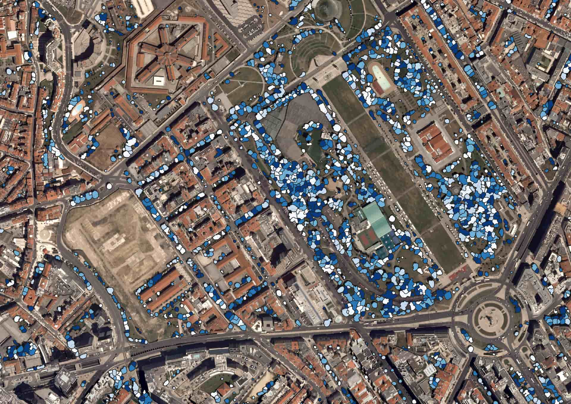
More about UpGreen AssessmentEuropean Space Agency satellites carrying the necessary sensors fly over cities almost daily. Our solution uses time-series imagery to help us understand and explain what is happening to your city’s green infrastructure. It is common practice for municipalities to monitor the green spaces they own or care for. However, they usually cover only 10 to 40% of urban green infrastructure. The rest of the data on private green spaces, forests, etc. is missing. UpGreen maps 100% of urban green spaces without needing on-site measurements and assesses the vitality and density of all green space units. Our software recognizes how green spaces behave and classifies sites according to their current condition.

Looking ahead with artificial intelligence
UpGreen Prediction
How to predict the future of green spaces in cities? Using advanced artificial intelligence algorithms and satellite and climate data to predict future scenarios for urban green infrastructure! Our algorithms, which can make predictions up to 10 to 20 years, are more accurate than human predictions. This is because each unit of green space in your city has a history and behaves differently in different seasons. Because of the volatility of change, dendrologists and landscape architects have never been able to calculate the future by examining the history of data from thousands of units of green space.

Plan for the future development of green spaces
UpGreen Vision
Every city and its neighbourhoods have different needs. Some struggle with biodiversity, others need more microclimatic functions, and others seek to eliminate urban heat islands. UpGreen models represent advised changes to achieve your city’s goals. With our service, you get all the data you need to improve your city’s development plan, rethink your green policies and greening strategy, and finally protect and develop the necessary urban green infrastructure. Our solution allows you to set specific measurable indicators that can be recalculated annually. This approach enables you to evaluate the data and learn from your past actions to achieve better results in the future.

Evaluating the effectiveness of green initiatives
Impact Assessment
Evaluating the impact of UpGreen is a key part of the overall project strategy. This function allows us not only to assess the effectiveness of green initiatives already implemented but also to predict the potential impact of future projects on the urban environment. By analyzing data collected from urban green spaces, urban planners and decision-makers can better understand what changes have brought the greatest benefits and plan the next steps to maximize the environmental, social, and economic value of urban areas. Thus, UpGreen not only provides important information for effective urban green management but also enables systematic improvement of the urban environment.

UpGreen outputs
Are you interested in service details?
UpGreen’s outputs include infographics displaying the current state of urban greenery, comparisons with the desired condition, identification of problematic areas, and assessment of key performance indicators. We also provide map layers showing greenery distribution, carbon sequestration, biomass, and other ecosystem services, including microclimate regulation and air pollution mitigation. Our services include detailed analysis of tree cover attributes, such as height, vegetation categories, canopy cover, tree count, and vitality. UpGreen also delivers tables with detailed data on individual trees and greenery segments, which can be used for further urban vegetation planning and management.

UpGreen Assesment
UpGreen Prediction
UpGreen Vision
Impact assessment
UpGreen and our cooperation with ESA
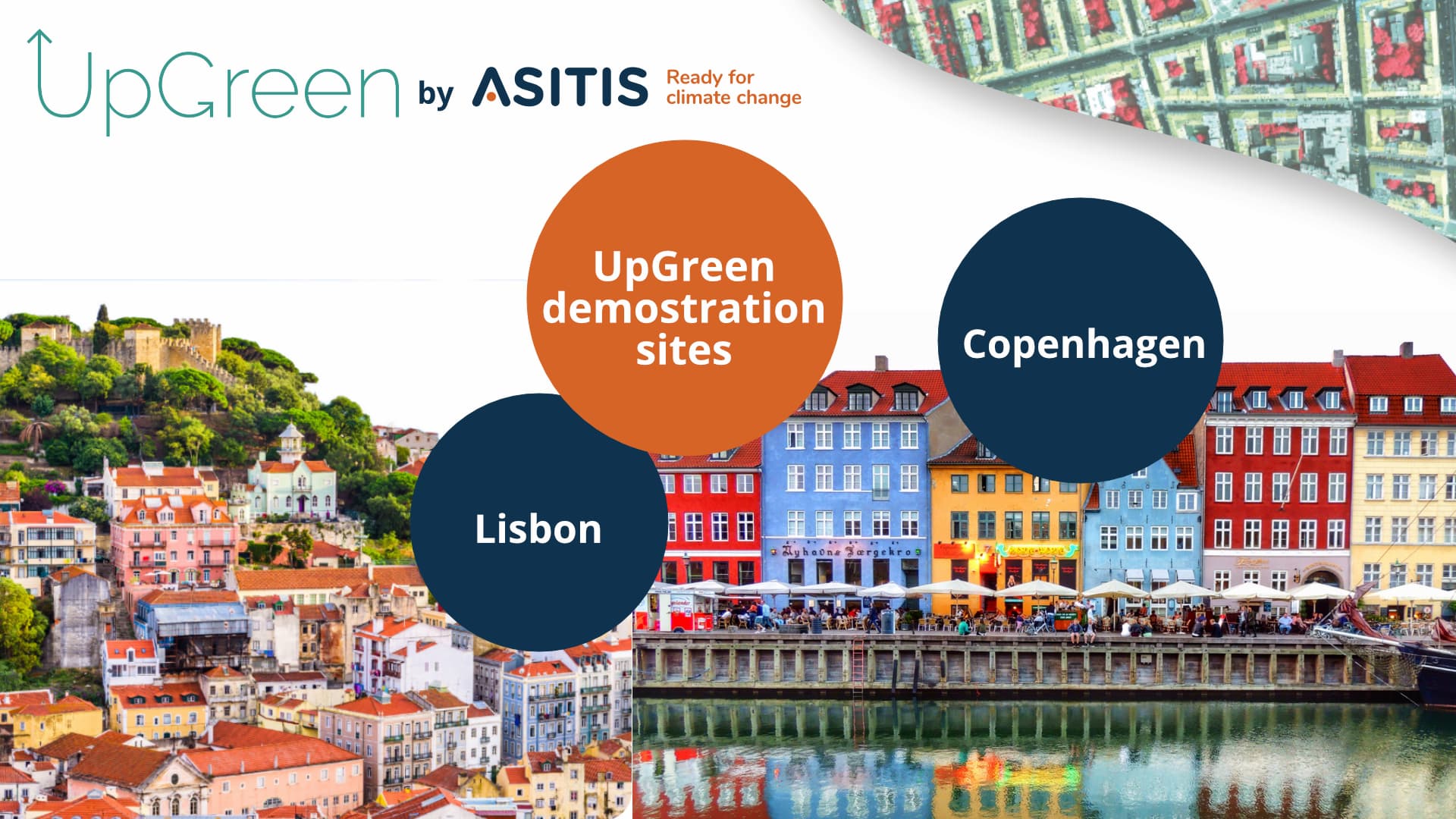
Following the success of an international feasibility study on the integration of advanced technologies for urban use, the cities of Lisbon and Copenhagen are now the demonstration sites for the UpGreen project. The project is expected to last 18 months, during which the cities will gradually acquire technology outputs for their use in urban planning processes, including urban design, urban planning, green space management, and investment planning.
UpGreen with ESA
Contact us. I'm here for you.

Ing. Jiří Jedlička, Ph. D.


Kdo tuto službu využil


